“Sheradenia est omnis divisa in partes tres” – to loosely copy Julius Ceasar. (No worries, legions of Romans aren’t set to invade it.) There is the generally flat plateau overlooking the Ohio River; the flat grid between Sheraden Park and Chartiers Avenue; and the hilly section south and west of Chartiers Avenue. Most of today’s run was in the second section, between Sheraden Park and Chartiers Avenue.

I parked near McGonigle Park and started the crisscrossing streets. Almost every yard had a dog. And every dog had something to say, starting with the large old black and brown dog who “woofed” at me vigorously, but didn’t bother to get up. Finishing up Universal Street, a young brown dog had lots to say as he breathlessly barked and leaped against his fence, trying to take a bite of a me. At least we both got our heart rates up.

But the people were nice, greeting me as they worked on their houses. Near the parks, the streets are pleasantly sheltered by tall trees. There’s supposed to be a set of steps which go from Moyer to Chartiers Avenue but the top is blocked by fencing. On the other end of the grid, Jean Street dissolves into broken steps descending to Adon Street.

Jean Street Becoming Broken Steps to Adon Street 
Bottom Section of Universal Street Steps
The grid of streets, with a little duplication, covered six miles. Then I crossed Chartiers Avenue, planning to go up the Universal Street steps into the hillier section of Sheraden. However, the lower section of Universal is overgrown, so I went up the very steep Emporia Street. The top section of steps was OK, and I went all the way to Chetopas Street, where I got this broad view.

This hillier section Sheraden is riddled with steps, as streets cross Chartiers Avenue and run into a bluff. Huxley Street and Adon Street, for example, continue across Chartiers and meet as a step intersection.

Then I made my way to Middletown Avenue. I had done portions of Middletown before. This time, however, I was intent on following it to its bitter end. Turns out, it lands in a flat, wide-open suburban area.

Chartiers City 
Windgap 
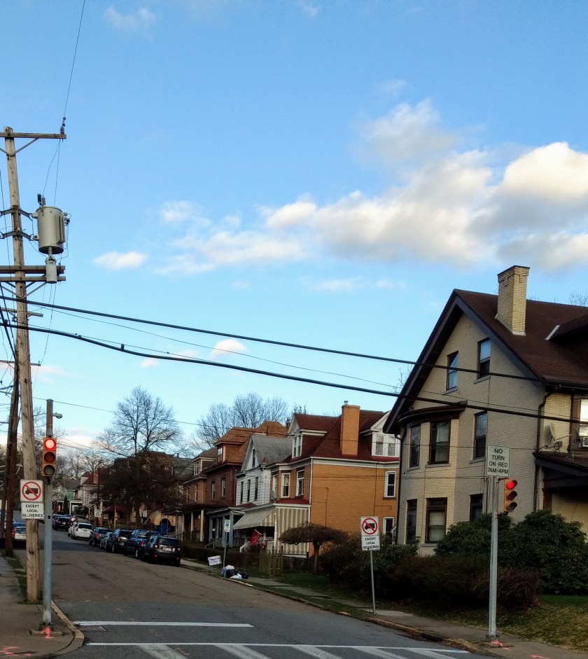
Bringing power to the city
I crossed the Windgap Bridge which briefly took me into McKees Rocks. That is out of the City of Pittsburgh, so I returned to explore more of the Windgap neighborhood.

McKees Rocks – Can’t Say They Didn’t Tell You
Traversing the big wide open streets of Windgap, I found the end of Chartiers Avenue. It just stops at the intersection with Mayfair Street, a residential, suburban street. I made my way back to Sheraden along Chartiers Avenue. I was a little short of my intended fifteen miles, so I wandered a bit in the center of Sheraden, where I saw this bold butterfly mural.