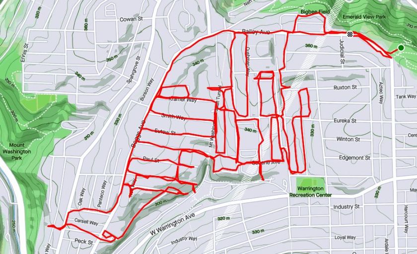
Ah, history, it explains a lot. I had no intention of doing a historic run last Saturday, but I came across a couple of historic artifacts, some in use and some not. It all started with a rough plan to complete the Haberman Avenue between Bailey Avenue and Kingsboro Street. After that, I wanted to drift west to cover a series of streets off of Boggs Avenue in Mount Washington.

Haberman Ave 
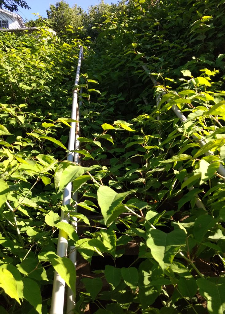
Eureka Steps Between Haberman and LaClede 
Wildflowers on Eureka Steps
Not far down Haberman, I encountered Eureka Street where it transforms into steps leading to LaClede Street. While LaClede and Haberman are essentially parallel, and, at one point connected by a 50 yard span of asphalt, they ‘feel’ different. At this point, Habermann seems more spacious and open compared to LaClede. Perhaps it is because the yards off of Habermann have backyards sloping down and away, whereas the lots on LaClede are steeply sloped up, seeming closed in. Perhaps it is because Haberman continues across East Warrington, whereas LaClede dead-ends into Secane.

Steps from Harwood Way to South Hills T 
Along Trolley Lines 
House facing Trolley, away from street
At any rate, the streets west of LaClede are in a regular grid. One street, Harwood, goes straight downhill. After Secane, it becomes Harwood Way, an increasingly steep set of steps. The steps descend all the way to the South Hills’ trolley line; the “T” as it is known. Coming back up those steps, I noticed that the last house on the steps, with all its gargoyles, actually faces away from the road. I also noticed immense brick towers rising out of the earth.

Liberty Tubes’ Venting Towers 
Venting Towers 
Entrance to the Towers Complex
Running around them, I saw “Liberty Tunnels” emblazoned on the lintel. They were vents for the Tubes. A little digging revealed that these are the original ones, built 96 years ago after a traffic jam on May 10, 1924 caused motorists to get sick from carbon monoxide fumes. The Pittsburgh Quarterly has a great article about it. They had been planned anyway, but the May incident hurried those plans along.
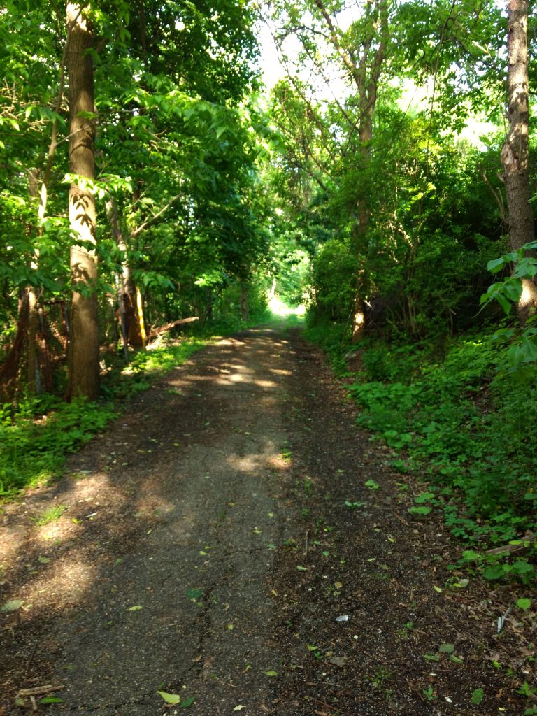
Now my journey took me to Paur Street; that’s right “Paur” not “Paul”. At the end of Paur Street are a set of stairs with the touch of death – bar across them indicating they were closed. It was easy to get over. The steps were generally in great shape, except a couple of places where the concrete treads were totally missing. They were also fairly wide and took me to an asphalt path under the spreading trees.

Paur Steps are missing treads 
While this section is seriously closed 
But the path continues 
and reaches the Albert Street Steps 
Which, from this side seem to be verboten 
But here is okay, as long as you avoid the dog poop
One section, presumably going down to the South Hill’s trolley lines, was seriously closed; blocked by a chain link fence and missing platform. Apparently, in the ‘good ole days’, Brookline kids used these steps to get to school, as told in Brookline Connections.
On the right, the asphalt path continued. I dodged fallen trees and passed an old metal cabinet. Its slightly ajar door revealed a new, bright orange bag of Reese’s Pieces. Just then, I was startled by a man coming down steps towards me. In his short sleeve, light blue dress shirt and black pants he quickly bore left and went down another section of steps, ignoring me completely. The smell of his cigarette lingered, though, as I went down those steps far behind him. At the bottom, I looked up and saw a “No Trespassing Sign”. Whoops! I returned up the steps, retracing the man’s steps which led me to the intersection of Westwood Street and Albert Street.
Further down Westwood Street, I eventually came the Walden Street steps. Here, they are narrow, wooden and very overgrown. Cutting down an alley, I came upon Tuscola Street, with disintegrating sidewalk steps, also overgrown. Several streets off of Westwood, such as Kramer head straight up to Boggs Avenue. A high section of Albert Street near Boggs Avenue yields more distant views of the venting towers.

Walden Steps 
Tuscola Steps 
Kramer Way 
Albert Street – Another Section
As you go south, the streets off of Boggs Avenue get shorter and shorter and more steeply fall on the end. Several of them have steps to South Hills Junction, where the South Busway and South Hills T line intersect.

Lelia Steps to SHJ 
Jacob Street Steps from SHJ 
South Hills Junction 
Soffet Street Steps
For a moment, I ventured past Boggs, catching the Soffet Steps. However, my secret hope that they went all the way to Warrington Avenue was dashed and I had to backtrack. Along the way, I did come across this yard, complete with red table, Triceratops skeleton and Christmas lights strung along the fence.

Coolest Yard
Finishing up, I was tired, but pleased with this eight mile jaunt. The run was more interesting than I expected and I got to see those venting towers up close and personal.